The Map Is Not the Shoreline
Coastal boundary maps show a defined purpose at a chosen scale, not every shore feature. Learn how to read their limits before using them in public decisions.
The most common mistake with a coastal boundary map is treating its line as the shore itself. A map may show a planning limit, property boundary, habitat area, or modelled hazard zone; confusing those purposes can make a public decision seem more certain than the map supports.
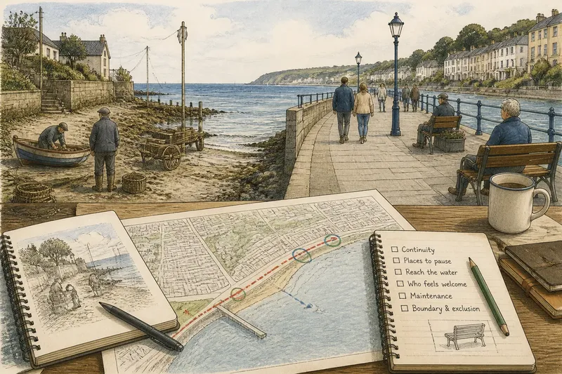
To read a coastal boundary map well, begin with the question it was made to answer. Then check its scale, date, source, and legend before interpreting the line. These details are not fine print: they define what the map can and cannot show.
What does a coastal boundary map actually represent?
A coastal boundary map represents a selected feature or administrative decision, not a complete inventory of everything at the water’s edge. Its line could mark the jurisdiction of a coastal agency, the extent of a protected habitat, a parcel limit, or an area identified for planning.
The same place can therefore have several valid mapped boundaries. A public beach, for example, might appear within a municipal recreation map, outside a conservation area, and partly inside a flood-planning zone. Those lines answer different questions rather than contradicting one another.
Look for the map title, legend, and explanatory notes. A line labeled “study area” does not necessarily establish legal ownership, while a line labeled “modeled inundation” describes a scenario rather than an observed edge. If the map omits a feature, that omission alone does not establish that the feature is absent.
Why can two maps show different shorelines?
Maps differ because their makers choose different purposes, source data, dates, and levels of detail. One may use a shoreline traced from aerial imagery; another may depict a surveyed property boundary or a line assembled for a regional planning exercise.
The word “shoreline” itself can refer to distinct things: the water’s edge at a particular observation, a vegetation limit, a tidal reference, or an administrative boundary. A map’s line may be accurate for its stated definition without matching another map’s definition.
Time matters, too. Tides, storms, sediment movement, construction, and changing vegetation can alter visible conditions, while a published map may remain unchanged until its source data are reviewed. A map’s date tells you when its information was prepared or issued, but it does not by itself explain how often the mapped feature changes.
How does map scale change what readers see?
Scale determines how much detail a map can communicate at a given size. A regional map can make a coastal boundary easy to compare across jurisdictions, but it may smooth bends, omit narrow features, or conceal small gaps. A larger-scale local map can show more detail, though its precision still depends on the source data and mapping method.
Do not infer survey-level accuracy from a crisp line on a screen. Digital maps often display boundaries with clean edges for legibility, even when the underlying data are generalized or uncertain. The map’s stated scale, accuracy notes, and data documentation are better guides than how sharp the line looks.
For a public meeting, the distinction can affect how a proposal is discussed. A regional boundary may be useful for identifying which agency should be consulted, but it may not settle where a small access feature or habitat edge lies on the ground.
What should you check before relying on a map?
Read the map’s supporting information before using its line to make a claim. In particular, check:
- Purpose: Is the map for planning, regulation, ownership, navigation, habitat, or public information?
- Definition: What exact feature does the boundary represent?
- Date: When were the source data collected, and when was the map issued?
- Scale and accuracy: Does the map support the level of detail your question requires?
- Legend and notes: Are lines approximate, modeled, generalized, or subject to conditions?
- Source and authority: Which agency or organization prepared it, and what role does that organization have?
- Coverage: Does the map exclude areas, features, or conditions relevant to your question?
Then match the map to the decision. For a broad discussion about regional planning, a generalized map may be enough. For a question about a particular parcel, legal access, or a permit, a planning illustration should not be treated as the controlling record; consult the responsible agency or a qualified professional where appropriate.
How should you compare a map with what is on the ground?
Use observation to ask better questions, not to declare a map wrong by appearance alone. A field visit can reveal a newly placed fence, a shifted channel, or a path missing from an older image, but those observations do not automatically establish ownership, jurisdiction, or a formal boundary.
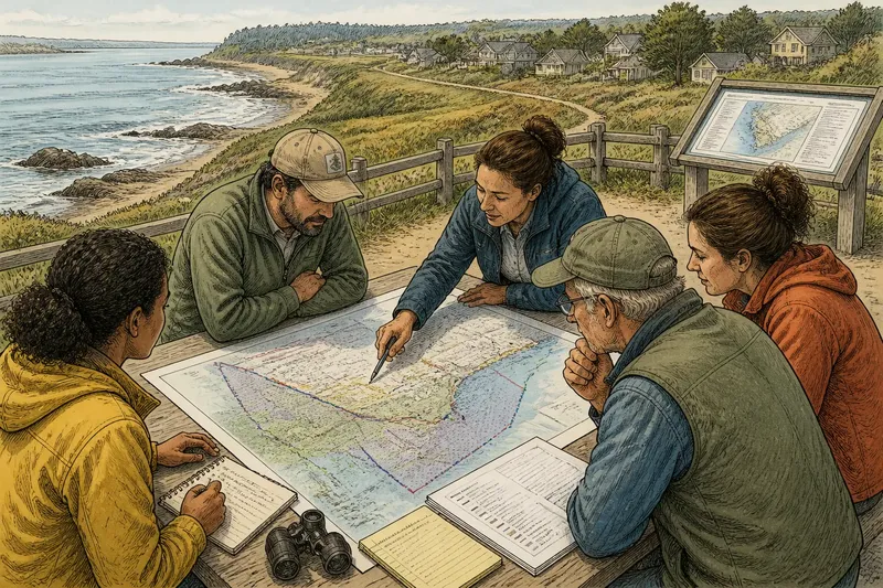
Say a neighborhood group is discussing whether a small stretch of shore falls within a habitat planning area. Its printed regional map shows a broad boundary near the site. The group checks the map notes, finds that the line is generalized, and asks the planning office for the underlying local information; the expected observable result is a clearer account of what the published line represents and whether another source is needed.
When sharing a map, keep its title, legend, source, and date with the image. A cropped line detached from those details can travel farther than its limitations, and viewers may mistake a planning layer for a legal finding.
Which coastal map answers which question?
Does a hazard map show where the water will reach?
It shows an area associated with a stated hazard method or scenario, not a promise about the exact edge of future water. Read the map’s assumptions and intended use before applying it to an individual site.
Does a property map settle who owns the beach?
Not necessarily. A parcel layer may help locate recorded boundaries, but the public’s rights and the legal meaning of a shore boundary depend on the relevant records and local law.
Can an online map replace an agency record?
It can be a useful starting point, especially for locating layers and identifying the office responsible. If the decision depends on an official boundary or current rule, request the applicable agency record rather than relying on a display layer alone.
Why might a map leave out a visible path or seawall?
The feature may fall outside the map’s purpose, be too small for its scale, or not appear in the source data. Its absence from that map is not, by itself, evidence that the feature does not exist.
What does a map let the public decide?
A map can make competing claims visible, help readers identify a responsible office, and give a meeting a shared reference point. It cannot answer every question attached to a shoreline, especially when the dispute concerns a boundary the map was not designed to establish.
The most useful habit is to name the line before arguing about it: a habitat boundary, a planning envelope, a parcel edge, or a modeled hazard area. That simple description keeps a coastal boundary map in its proper role—as evidence with a purpose and limits, not a complete substitute for the shore or the records that govern it.