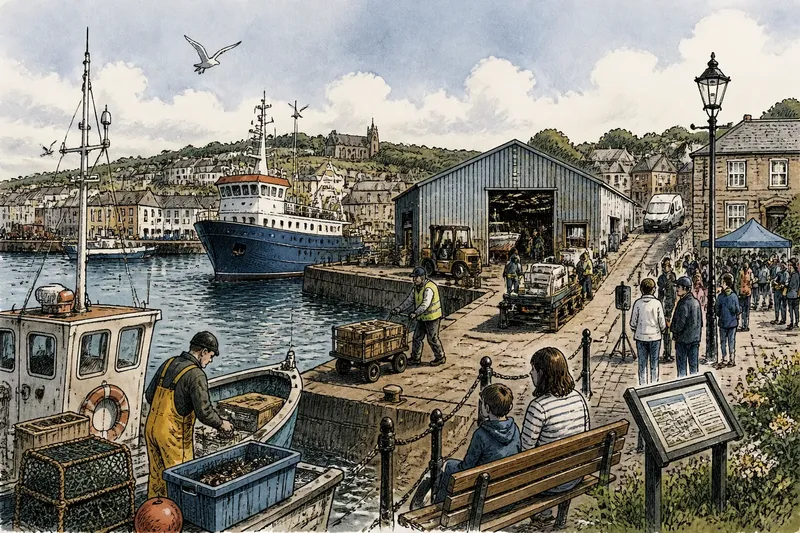
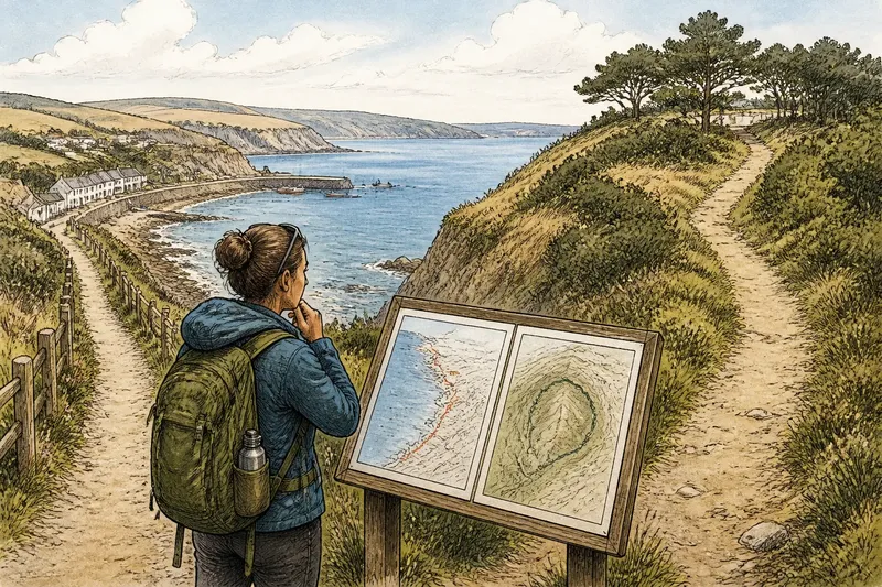
Before the Promenade: How Seafronts Became Public Places
Before the promenade, a seafront’s public character was shaped by who could reach it and how. Learn how recreation changed that access and what to consider today.
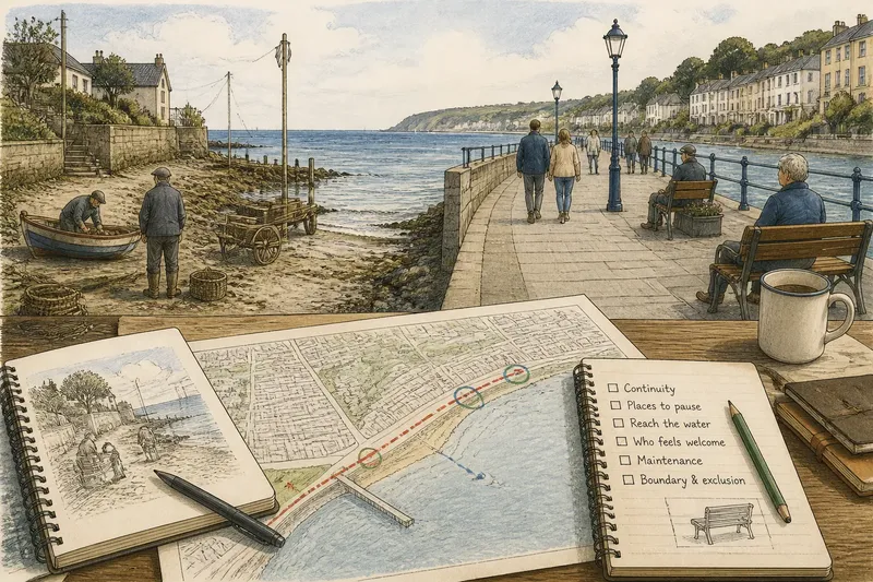
The most common mistake is to treat a promenade as the natural, finished form of a seafront. Before the promenade, access to the shore often followed local needs and rules, and a public path could change who was able to reach the water and linger there. The history is not one universal shift from work to leisure; it is a set of local decisions about movement, access, and public space.
Those decisions took different forms. In some places, a route was added beside existing activity; elsewhere, public agencies or landowners created a distinct recreational frontage. Looking at these choices helps explain why a path beside the water can be easy to enter yet still leave questions about who feels welcome and what the space is for.
What changed when people could linger?
A shoreline used mainly for travel or practical tasks is not automatically a place to stop. A promenade makes walking, meeting, and looking at the water recognizable public activities. Benches, railings, and a continuous path can help people stay without having to explain why they are there.
That design also sets expectations. A route built for strolling may make other ordinary uses seem out of place, even when entry is open. Public access involves more than getting through a gate: it includes whether people can pause, move comfortably, and use the edge without feeling that they are in the wrong place.
Why build a dedicated promenade?
A distinct recreational frontage can give people a legible route and places to sit, especially where the shore is difficult to approach. It can also make maintenance and public amenities easier to organize in one area. The point is not that every seafront needs the same design, but that a clearly defined public place can serve people who want a straightforward walk by the water.
Separation has a cost if it turns other parts of the shore into a hidden remainder. A polished public route can make the rest of the waterfront seem less worthy of attention, even when those areas remain important to local life. Planning a promenade therefore includes a question about what the boundary excludes and whether that exclusion has a fair explanation.
When is a simple coastal path enough?
Some communities may value a route that connects streets, neighborhoods, and the water more than a continuous recreational setting. Such a path can be modest, with places to stop where space allows, rather than a uniform line of seating and landscaping. This approach leaves more room for each stretch to reflect its setting.
A route alone, however, can be hard to use if it is confusing, uncomfortable, or too narrow for people to pass. Plans should consider how someone reaches the path, where they can pause, and how its condition will be maintained. A line on a map is not the same as an inviting public connection.
How can communities judge a public seafront?
Start with the public benefit a proposal is meant to provide. A meeting about “more access” can stall because one person means a place to sit, another means a connected route, and another means a clearer way to reach the water. Naming the intended benefit makes the choice more concrete.
- Check the route’s continuity: If the proposed path connects the places residents need to reach, keep the alignment; if it ends abruptly, consider a link or a clearly marked alternative.
- Check where people can pause: If the plan provides usable stopping places, retain them; if it offers only a narrow passage, identify a suitable place to rest or accept that the segment is for movement rather than lingering.
- Check how people reach the water: If entrances are visible from nearby streets, preserve that legibility; if they are hard to find, add clearer wayfinding or revise the entrance location.
- Check who may feel unwelcome: If the layout supports different ways of using the public space, keep those features; if it signals that only strolling belongs, revise the design or make the intended limits explicit.
- Check who maintains the route: If a responsible agency or group can care for the paving, signs, and seating, retain the proposed amenities; if not, simplify the design or settle responsibility before building.
- Check what the boundary leaves out: If the design gives a clear public reason for restricting an area, explain it in the plan; if the boundary merely hides an unresolved conflict, reconsider the layout or address that conflict directly.
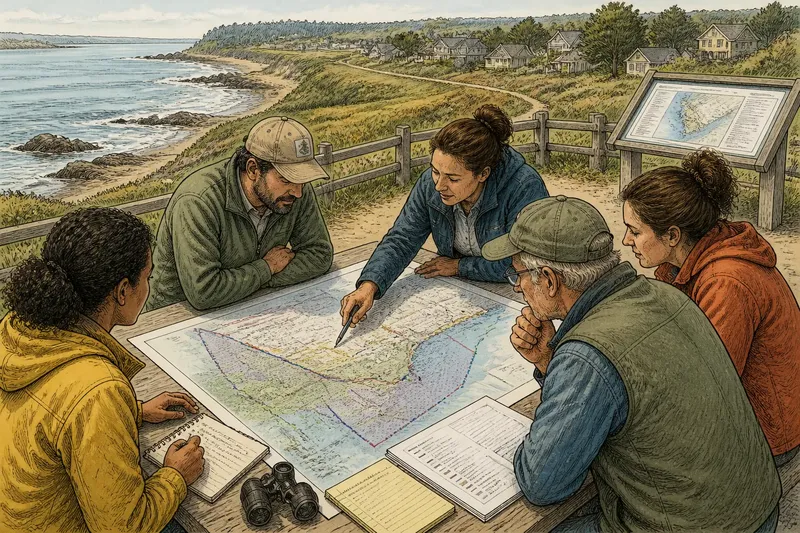
Say a neighborhood group is considering a short waterfront connection between a street and an existing public path. In this invented situation, its starting inputs are a route that currently stops before the water, residents who want a place to sit, and no settled plan for maintaining new furniture. The group first marks the gap on a local map and checks where people can enter; it then identifies a clear connection and a possible sitting area outside the main passage. Next, it asks the relevant public agency to confirm who would maintain a bench before including one in the proposal. If maintenance responsibility is accepted, the plan can include the bench; if not, the group can prioritize the continuous route and leave seating for a later decision. The observable result is a proposal that distinguishes the agreed access improvement from an amenity whose upkeep remains unresolved.
How did the idea of a public seafront change?
Why did promenades become public places?
A promenade gives walking and looking a recognized place beside the water rather than leaving them incidental to other activity. Its layout signals that people may spend time there, not only pass through.
Did promenades replace older shoreline uses?
There was no single outcome across all coasts. Some seafronts were reshaped for leisure, while others retained different patterns of access and use.
What makes a seafront feel public?
Entry is one part; clear routes, places to pause, and understandable rules also matter. A space can be open in principle yet uncomfortable to use if its layout gives no clear invitation to stay.
Can a public seafront serve residents year-round?
That depends on whether its routes and facilities suit ordinary local routines, not only occasional visits. Connections to nearby streets and useful places to pause can make a seafront part of daily movement.
What does “before the promenade” ask us to notice?
The phrase points to a useful question: what did a new public route make possible, and what did its design leave out? Before the promenade, access may have been informal, limited, or shaped by local arrangements; afterward, a formal path can make public use more visible without resolving every question of belonging.
For anyone considering a coastal path or public seafront, the phrase “before the promenade” is a reminder to compare the proposed space with the access people have now. A plan is stronger when it says who can reach the water, where they can stop, and who will care for the route after the opening day.