A Coastal Path or a Viewpoint Loop?
A coastal path or viewpoint loop offers different kinds of public access; compare their routes, starting points, and shoreline views before choosing.
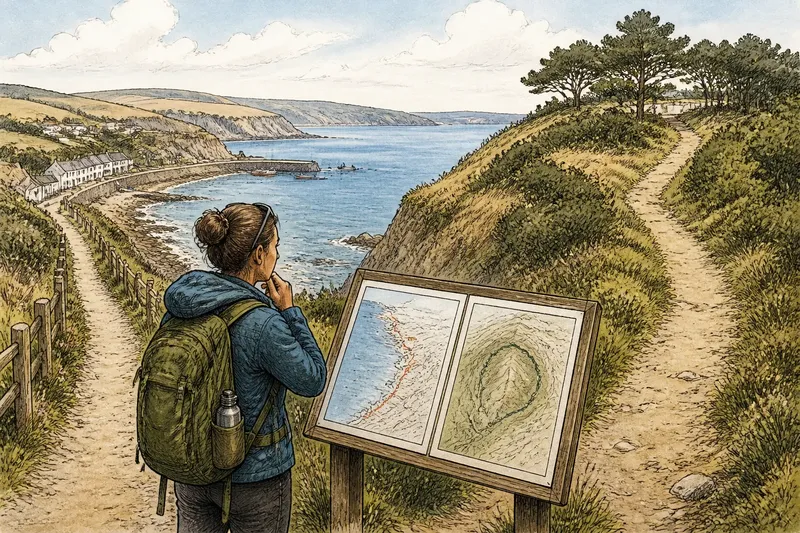
The common mistake is to choose a coastal path or viewpoint loop by whichever line looks closest to the water on a map. That can cost you the kind of coast you came to experience: a long, changing passage may become a short look from above, or a quiet circuit may turn into an out-and-back walk with no easy return.
These routes make different promises. A coastal path carries you along the shore, while a viewpoint loop begins inland, rises to a place with a broad prospect, then returns by another route. Neither is automatically more public, more scenic, or easier; the useful question is what kind of encounter each route makes possible.
What does each route let you notice?
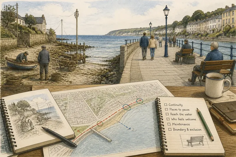
A linear coastal path makes distance part of the experience. Headlands, beach entrances, working waterfronts, and changes in the shoreline arrive in sequence, and the view shifts as you move. The route may also reveal how access is stitched together: a public trail can pass beside private land, a road, or a section where the shore itself is not walkable.
A viewpoint loop trades that unfolding journey for a change in elevation and perspective. From an inland trailhead, a short circuit may climb through trees or grassland to a bluff, ridge, or overlook, then descend by a different path. You see the coast as a connected shape rather than a succession of places beside it.
That distinction matters for attention as much as scenery. On a shoreline path, a small cove or harbor entrance can hold your interest because you meet it at close range; from a high point, the same features may read as part of a larger pattern. A loop can make the coastline legible, while a linear walk gives it texture.
How do the starting points shape public access?
Access begins before the trail. A coastal path may be easy to reach from a town street, bus stop, or public parking area, but its usable length can depend on where the route meets a road, a closed section, or a property boundary. A viewpoint loop often has a clear trailhead inland, yet reaching it may require a longer approach through a neighborhood or along a road with little room to walk.
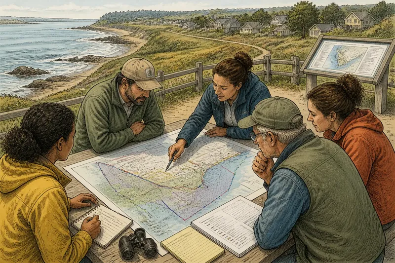
Look for the practical details on a local parks map or posted trail sign: the public entrance, route connections, surface type, and any closure notice. A line that appears continuous on a general map may not be a single continuous public path. The distinction is not a technicality; it determines where a visitor can begin, turn around, or leave the route without retracing every step.
Imagine you arrive by bus at a coastal village and have a short window before the next ride. A signed path from the stop along a nearby shore might let you walk out to a cove and return by the same route; a viewpoint loop whose trailhead lies farther inland could offer a broader view but consume more of that window just getting there. The observable difference is where your walking time goes, not which route is inherently better.
Which route fits the day you have?
A linear walk suits someone who wants to follow the coast for as long as conditions and transport allow. It is especially useful when there are public access points at both ends, so a return trip can be arranged without doubling back. Without that connection, treat it as an out-and-back and choose a turnaround point that leaves enough time and energy for the return.
A loop is often simpler when you want to finish where you started. The circuit can make a short outing feel varied, particularly if the ascent, overlook, and descent each offer a different setting. But a loop’s length alone does not describe its effort: a steep climb, uneven ground, or exposed ridge can matter more than the distance suggested by a map.
For a group with mixed walking preferences, the route’s decision points deserve attention. A coastal path may offer an obvious place to pause or reverse direction, while a loop may have a single climb before the view and a longer descent afterward. Check whether a shorter branch or alternate return is actually marked, rather than assuming that a path visible on a map is an available exit.
What should you check before choosing?
- Public entrance: Find the signed trailhead or mapped access point, not just the nearest point on the shoreline.
- Route shape: Confirm whether the path is a loop, an out-and-back, or a linear route that needs transport at the far end.
- Surface and slope: Read local descriptions for stairs, loose gravel, mud, steep sections, or other features that affect your group.
- View orientation: Check whether the overlook faces the stretch of coast you want to see, and whether trees or buildings may screen it.
- Return options: Identify roads, transit stops, connecting paths, and signed turnarounds before setting out.
- Current access: Look for posted closures or seasonal restrictions at the park entrance and on the managing agency’s page.
Follow posted signs and local notices; access rules and route conditions depend on the managing agency and local rules. Where a path description conflicts with a sign on site, use the current sign rather than trying to infer access from the map.
How do these routes share the shoreline?
Public access is not just a question of how close a path runs to the water. A narrow coastal corridor may concentrate walkers beside sensitive habitat or alongside places used for work, while an inland loop can offer a coast-facing experience without placing every visitor on the shore. Those are different arrangements of public presence, not a ranking of whose use matters more.
Each route also distributes what visitors can see. A coastal path gives repeated views at changing angles, but buildings, vegetation, or bends can interrupt them. A viewpoint can make the wider shoreline visible at once, yet it may show less about the paths and activities happening below. The route’s perspective is part of its public value, and part of what it leaves out.
For visitors, that is a reason to choose deliberately rather than to seek the route with the most dramatic line on a map. For communities, it is a reminder that one kind of access does not substitute neatly for another. A high overlook may serve people who want a broad view, while a shore-level connection may matter to those who want to move between coastal places on foot.
Which route questions are worth asking?
Is a coastal path always closer to the water?
No. A route called coastal may turn inland around private property, habitat, or an impassable section, and its signed course may differ from the apparent shoreline line. Check the actual public route and access points before treating it as a continuous waterside walk.
Does a viewpoint loop usually have a better view?
It offers a higher or more open perspective when the overlook is clear, but “better” depends on what you want to notice. A low path may bring you close to coves, shore structures, and changes in the water that are hard to distinguish from above.
Can a linear coastal walk be made into a loop?
Only if a public connecting path, road, or transit option closes the circuit. Do not assume that an inland road provides a comfortable or permitted return; check the route on the local trail map and follow posted access signs.
Which route is easier for a short visit?
The nearest public entrance and the route’s terrain matter more than its label. A short shoreline segment may be straightforward from town, while a compact loop may still involve a climb; compare the approach and return as well as the walk itself.
How can you choose without reducing the coast to a view?
Start with the experience you want: movement beside the shore, a broad look from above, or a route that combines both. Then match that intention to the actual entrance, terrain, and return options. A map helps you compare possibilities, while signs and local trail information clarify what is open and accessible on the ground.
For a coastal path or viewpoint loop, the most useful choice is the one whose route makes sense for the time, company, and kind of attention you bring. The coast need not be seen from every angle in one outing. Leaving one perspective for another visit is part of understanding that public access can take more than one shape.